First field campaign in the Guatemala project
Christoph Grützner carried out the first field campaign for his project on the plate boundary in Guatemala.
Published:
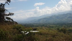
LiDAR drone about to take off in the Polochic Valley
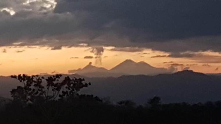
Image: Christoph GrütznerIn a new DFG projectExternal link, Christoph Grützner investigates the plate boundary between the Caribbean and North American plates in Guatemala. Here, displacements of around 20 mm/year have lead to severe earthquakes in the past. Most recently, an earthquake with a magnitude of MW7.5 in 1976 claimed more than 23,000 lives. The first field campaign took place with colleagues from Guatemala (Omar FloresExternal link and Carlos Pérez) and the USA (Tina NiemiExternal link, Jeremy MaurerExternal link, Aleigha DollensExternal link, Jonathan Obrist-FarnerExternal link). High-resolution digital elevation models free from vegetation were created using a LiDAR drone along the Motagua and Polochic faults, which form the plate boundary. Geophysical measurements (4-point geoelectrics) perpendicular to the strike of the faults were used to precisely detect the faults in the subsurface. Finally, a paleoseismological trench was excavated to date the last strong earthquakes on the Motagua fault. The data obtained is currently being processed and analysed. The next campaign is already being planned. A first 3D model of a fault outcrop can be found here External linkon Sketchfab.